Vadhavan Port Map - File Information
| Map Name | Vadhavan Port Map |
|---|---|
| Available Formats | WEBPPDFJPGPNG |
| WEBP Size | 0.20 MB |
| PDF Size | 4.88 MB |
| JPG Size | 0.62 MB |
| PNG Size | 1.77 MB |
| No. of Pages in PDF | 1 |
| Image Height | 2104 Pixels |
| Image Width | 1488 Pixels |
| Category | India |
| Related | Maharashtra |
Vadhavan Port Map - Preview
 Preview in Large Size
Vadhavan Port Map - Summary
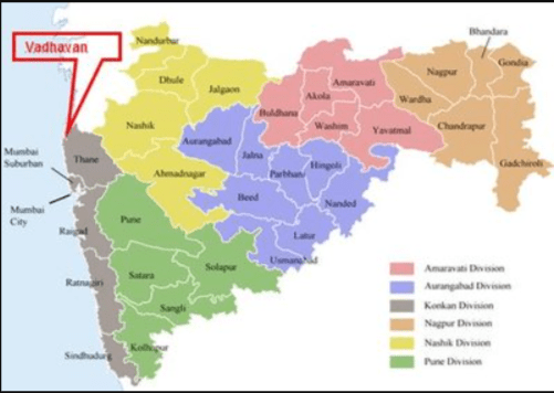
Maharashtra has only two major ports i.e. Mumbai and Jawahar Lal Nehru Port (JNPA) and Mumbai Port are constrained in the evacuation of cargo for the past several decades due to the development of the city around it as well as due to limited depths in the harbour which allows only small ships to berth. The Arabian coast at Vadhvan, north of Mumbai, is most suitable and ideal for the development of a new port where a natural depth of 20 Meters is available at a distance of about 4 ½ nautical miles.
The location is about 10 Km from the National Railway grid and about 35-40 Km from NH8. The JNPA has proposed to develop Vadhvan Port along with the participation of Govt of Maharashtra and the Maharashtra Maritime Board and an MOU were signed on 5th June 2015 to set up a new port at Vadhvan as a Major Port to be notified under the Indian Ports Act 1908 by the Government of India. This port will be jointly implemented by JNPA and the Maharashtra Maritime Board with a shareholding of 74% and 26%, respectively. The port will be developed based on Landlord Port.
Vadhavan Map
Vadhavan Port Map - Download Links
- WEBP 0.20MB
- PDF 4.88MB
- JPG 0.62MB
- PNG 1.77MB